The 2025 Annual River Report Card is available now. Read here.
Check out the weekly 2026 summer grades map below!
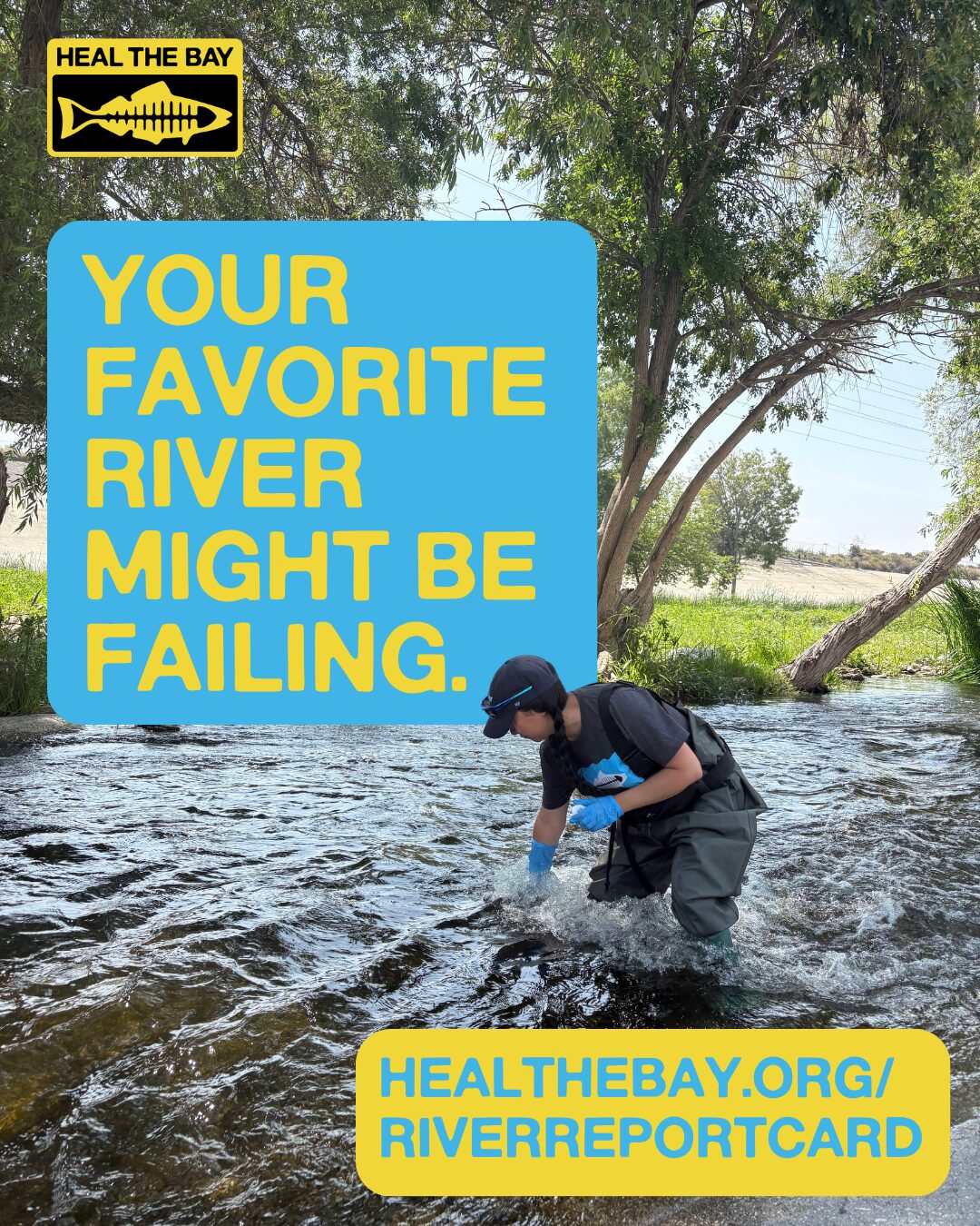
Water quality and public health are matters of utmost concern at Heal the Bay. We believe that nobody should get sick from a day of fishing, kayaking, or swimming. Our River Report Card puts this belief into action by sampling, analyzing, and reporting on water quality in popular freshwater recreation areas within the Los Angeles River, Malibu Creek, and San Gabriel River watersheds in LA County. The goal is simple: to empower you to make informed decisions and minimize your risk of getting sick.
Many of the LA River monitoring sites are in designated recreation zones where certain activities are allowed in the summer (kayaking and fishing, but not swimming); other locations include popular swimming spots, areas where people may contact the water, and locations of proposed projects. We’re currently monitoring bacteria levels at multiple freshwater locations near popular recreation zones, in coordination with the LA County Department of Public Health, the Council for Watershed Health, the Los Angeles River Watershed Monitoring Program, the City of Los Angeles Bureau of Sanitation, and the San Gabriel River Regional Watershed Monitoring Program. The LA River monitoring sites are in designated recreation zones where certain activities are allowed in the summer (kayaking and fishing, but not swimming); the other locations are all popular swimming spots.
Map of water quality at popular freshwater sites (updated weekly from June to September 2026)
Select site markers to see past water quality grades and to learn more about water quality at your favorite spot.
![]() Use this icon (located in the top left corner of the map) for more info about the watersheds, sampling sites, and a history of results. Click on location icons to see the data in table format.
Use this icon (located in the top left corner of the map) for more info about the watersheds, sampling sites, and a history of results. Click on location icons to see the data in table format.

About the River Report Card Grading System
In 2023, the River Report Card implemented an easy-to-understand A to F letter grading system calculated weekly during the peak freshwater recreation season (June- October) for each location. Heal the Bay’s new grading methodology is based on compliance with state water quality standards and the protection of public health.
Read the 2025 River Report Card
What do these freshwater monitoring results mean?
The U.S. Environmental Protection Agency and the Regional Water Quality Control Board have established guidelines for safe levels of fecal indicator bacteria (FIB) in water. These bacteria can be a sign of harmful germs that could lead to infections or illnesses like skin irritation, respiratory issues, and stomach problems. Every week during the summer, we update our map to show the latest water quality grades at various freshwater locations. An A+ represents the lowest risk of illness while an F reflects the highest risk of illness.
Make sure you check out our Annual River Report Card for a full analysis of last season.
About the River Report Card
Heal the Bay is committed to ensuring that everyone is aware of the condition of their local waters, empowering them to make informed decisions on how to interact with these special places. We started monitoring freshwater recreational areas in 2014 and introduced the River Report Card in 2017 to simplify water quality information for the public. The grades we use range from A+ to F and are based on the presence of Escherichia coli, a bacteria that serves as an indicator of water safety. An A+ grade indicates excellent water quality that meets all health standards, while an F signifies poor water quality with a higher risk of illness.
Since Heal the Bay began monitoring freshwater recreation sites and making water quality data public, some positive changes have occurred, including increased bacterial monitoring and public notification in L.A. River recreation zones, as well as public outreach by government agencies collecting water quality data via emails, websites, and other online means. To protect human health, the yearly River Report Card includes additional recommendations for water quality monitoring and public notification measures.
Heal the Bay also manages the Beach Report Card and NowCast, available at beachreportcard.org, which provides A-to-F letter grades for water quality at hundreds of beaches on the West Coast.
Frequently Asked Questions
What happened to the red, yellow, green grading?
Inspired by the success of our Beach Report Card (BRC), which employs a clear letter grading system, we revamped the RRC from a color-based system (red, yellow, green) to a more user-friendly letter grade system (A, B, C, D, F). This shift aligns the RRC with the BRC, offering a consistent and simplified understanding for the public. Heal the Bay staff underwent a rigorous process with an expert Technical Advisory Committee in 2022 to develop a new grading methodology for the RRC that uses updated regulations, the latest science, and is protective of public health. The new letter-grading went into effect in summer 2023. Grades issued before that time are color-coded and utilize a different methodology for grading.
Does Heal the Bay test the water at all the RRC locations?
The River Report Card (RRC), launched in 2017, provides freely accessible information on recreational water quality each summer for over 30 sites. Its purpose is to provide bacterial water quality information for freshwater recreation areas in LA County, ensuring the safety of individuals enjoying our rivers, streams, and swimming spots. Heal the Bay hires local college students annually to conduct a weekly sampling program from June to September, covering 12 freshwater sites in LA County; Heal the Bay tests the water for 2 sites in the Malibu Creek Watershed, 1 site in the Sepulveda Basin, 3 sites in the Elysian Valley, and 6 sites in the lower LA River). These teams carry out weekly water sampling and analyze fecal indicator bacteria to generate RRC grades. Data is also collected at additional sites by other agencies (namely the LA River Watershed and San Gabriel River Regional Monitoring Programs) and Heal the Bay obtains that data to issue water quality grades for approximately 35 sites every summer.
What kind of bacteria is being tested in the water?
At freshwater sites within L.A. County watersheds, Heal the Bay and other agencies test for the fecal indicator bacteria (FIB) Escherichia coli. Each grade takes into account the single sample bacteria level which reflects the most recent water quality measurement at a given site as well as the geometric mean which is an average of all single sample measurements during a 30-day period and provides a longer-term view of E. coli concentrations in the water. Heal the Bay also tests for the FIB, Enterococcus; our grades used to also be based on Enterococcus levels but our upgraded grading methodology only uses E. coli. We continue to collect this data for our scientific and advocacy work.
What illnesses are associated with these bacteria?
Fecal indicator bacteria (FIB), like Escherichia coli and Enterococcus, serve as warning signs for potentially harmful pathogens in the water and indicate the presence of fecal matter. Although FIBs themselves are generally not harmful, their presence indicates the existence of other bacteria that may cause health issues like ear infections, skin rashes, respiratory problems, and stomach issues. Elevated FIB levels pose a particular risk in recreational water areas where people are swimming, fishing, or kayaking because there is a higher chance of direct contact with the water.
How does water become polluted?
Water contamination often occurs due to issues like urban runoff, leaks or spills from sewage systems, unauthorized discharges, and malfunctioning wastewater treatment processes. These factors can lead to an increase in fecal indicator bacteria (FIB), indicating that the water is unsafe for recreational use and wildlife.
Will I get sick if I kayak or swim?
The likelihood that you will get sick is determined by several factors, including the quality of the water that day as well as your own actions, which you can modify to reduce your risk. When bacteria levels in the water are high, your chances of becoming ill increase. The bacteria limits established by the United States Environmental Protection Agency and the Regional Water Quality Control Board are based on epidemiological studies (the study of public health that informs policy decisions and preventative healthcare practices) and risk levels. Recreating in waters that exceed approved bacteria levels increases your chance of sickness when you come into contact with water, but an increased risk does not guarantee that you will become ill.
How can I keep safe if I do go?
Check the most recent water quality results through Heal the Bay’s River Report Card and follow these best practices to minimize your risk of getting sick: limit water contact, particularly avoiding hand-to-face water contact and water ingestion, entering the water with an open wound, if immunocompromised or after a rainfall. After water contact, rinse off with soap and water. We also encourage you to learn more about local water quality issues and engage with local government and non-profit organizations when you have questions by reaching out to them via phone, email, and social media. However, underlying health conditions can indeed increase the risk. Deciding what to do with this water quality information depends on the level of risk you are comfortable with.
Does Heal the Bay support kayaking or other recreational uses along waterbodies?
Heal the Bay has long advocated for public access and use of open spaces in waterways, whether in Compton Creek, Malibu Creek State Park, the Ballona Wetlands, the Los Angeles River, or Santa Monica Bay. The benefits of spending time in these open areas are clear: they boost personal, and community well-being while fostering a commitment to environmental stewardship. We firmly believe that everyone deserves to be well-informed about the condition of their local waters so they can make smart choices about how to engage with them.
Why are you testing the Lower LA River?
We are monitoring the Lower LA River because it serves as a key indicator of the overall health of the watershed, despite its limited recreational use. The river collects runoff from a broad area and channels it towards the ocean; therefore, its water quality has downstream implications for both ecosystem health and public safety. Elevated levels of fecal indicator bacteria in the Lower LA River, for instance, can signal potential pollution risks at beaches near the river’s mouth in Long Beach. This data is crucial for both environmental assessment and public health measures.
Do the grades indicate the presence of COVID-19?
Our tests are designed to spot fecal indicator bacteria (FIB), not the COVID-19 virus itself. While COVID-19 has been found in sewage, it’s unclear how long the virus can survive in wastewater or natural water bodies. Experts generally believe that the risk of catching COVID-19 from water is quite low, as the virus primarily spreads from person to person. However, since both the virus and FIB can end up in water through sewage systems, monitoring FIB levels can serve as an additional safety measure. This helps us take precautions against not just common waterborne illnesses, but potentially against COVID-19 as well.
Where can I find more information about the water quality at my favorite beach?
We’ve got the perfect tool for you: Beach Report Card. Updated weekly, the website and app provide grades on water quality for hundreds of coastal spots, allowing you to make informed decisions about where to swim, surf, or simply enjoy the shoreline.